
About us
Newick Rootz is a volunteer group formed in 2011 under the guidance of the East Sussex County Council and with the support of the Newick Parish Council. The group is actively engaged in maintaining and improving public footpaths in the parish, with monthly on-site workdays and meetings to review and plan our work.
What we do
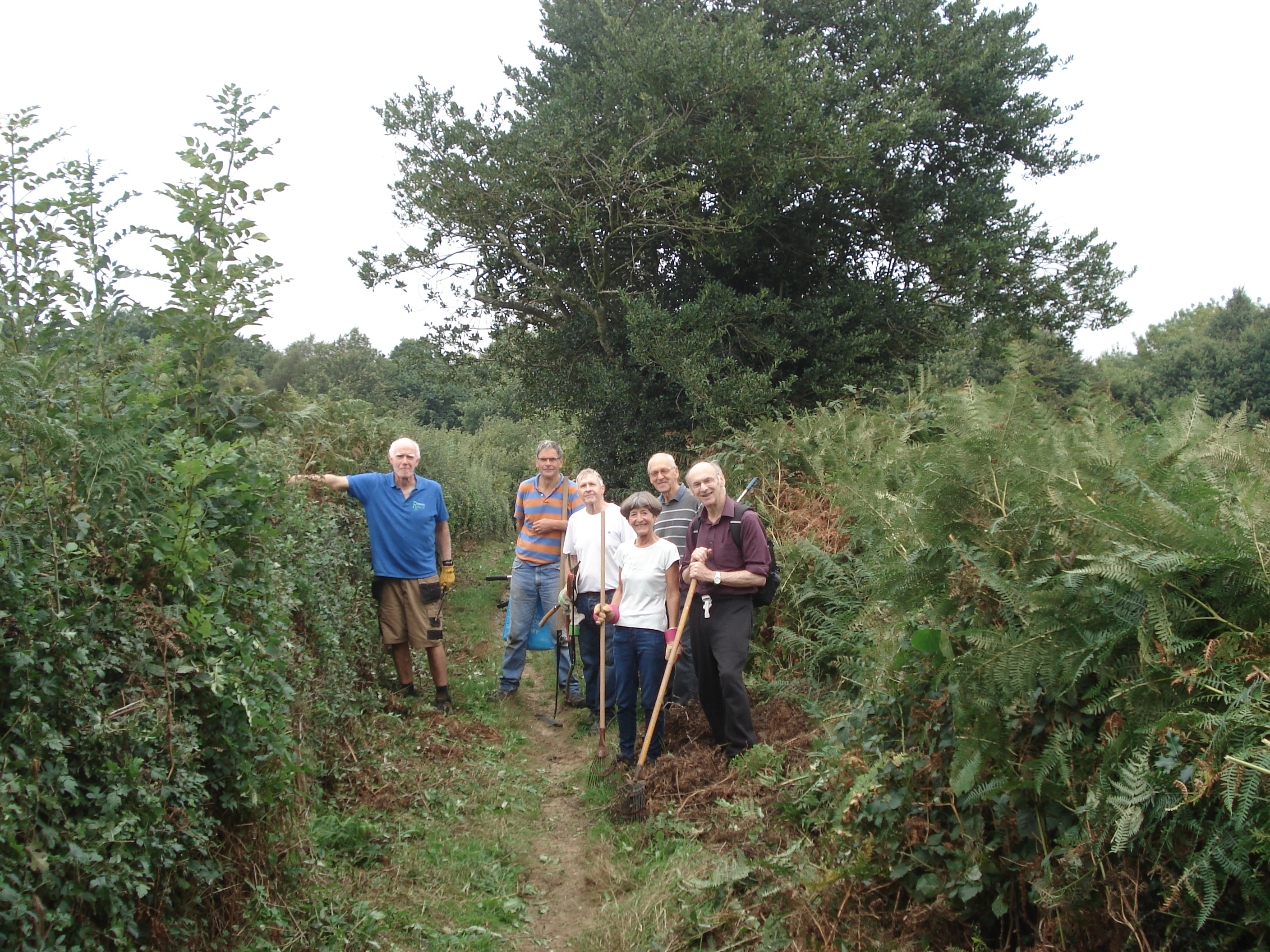
We repair and replace stiles and kissing gates, clear vegetation, erect fingerposts and install waymarking signs. And we enjoy ourselves while doing it. The group has also been engaged in traditional hedge-laying, assisting the Woodland Trust at Beechland Mill Wood, helping Lewes District Council maintain Newick Common, organising walks for Newick schoolchildren, participating in the recent 2016 Newick Festival etc. Local footpath wardens also assist the County Council in investigating footpath problems in Newick parish and in those parishes adjoining Newick.
We are also helping Lewes District Council with the management of Newick's latest open space, Reedens Meadows. We are conducting wildlife surveys of birds, bats, butterflies, moths, reptiles and amphibians, together with extensive surveys of the wild flowers, grasses, trees and other plants. In the latter case, we have also worked with experts at the University of Sussex.
Newick Parish Council has been keeping an eye on our paths for well over 100 years. The first Parish Council footpaths committee was set up in 1895. Indeed, the problems of paths being obstructed, overgrown, muddy, ploughed over and stiles needing repair, are just the same now as occurred years ago, as documented in parish records and old newspaper articles.
Funding
Rootz does not handle money. Most of our materials and tools are supplied by East Sussex County Council and we also receive a small grant from the Parish Council to cover minor expenses such as the cost of hiring the Sports Pavilion for our monthly meetings. As a group, we simply contribute our time and labour voluntarily.
Public footpaths and other pathways
Which are the official public pathways? In the 1950’s, paths and tracks across the Parish were identified by Parish councillors and the Ramblers Association (Southern Area). Those paths and tracks that were well established and in general use by the public were shown on a ‘definitive map’ as public rights of way. The paths were given a number, for example Newick 6, Newick 18, etc. That definitive map, updated over the years, is kept by East Sussex County Council at County Hall, Lewes for public inspection and still remains the relevant legal source for identifying public footpaths (and bridleways and byways). One or two new footpaths have been added since the 1950’s, for example the one from The Green through the modern estate to Allington Road and also the one in front of the Harmers Hill terrace of houses. These footpaths, bridleways and byways are also shown clearly on the map in the Newick Directory published by the Parish Council and on the County Council’s web site.
Legal definitions
The law about public footpaths is rather complex and changes from time to time, but in essence the following definitions apply:
- A Footpath may be used by people on foot. The law also allows a footpath to be used by a person with a "natural accompaniment", such as a wheelchair or child's buggy, but there is no guarantee or requirement that in practice the path is suitable for such users. A footpath may not be used by horse riders, cyclists or motor vehicles. Most paths in Newick are in this category.
- A Bridleway may be used by walkers, horse riders and pedal cycles (but not horsedrawn or motor vehicles). There is only one bridleway in the parish of Newick: Cockfield Lane, going south from Cornwells Bank. However there are others in adjacent parishes (e.g. Red Ghyll, which strictly speaking is in Chailey Parish).
- A Byway may be used by all traffic, including motor vehicles, but is often not maintained to the standards of a public highway. Newick has only one byway, the eastward extension of Blind Lane to the A272.
- There is a further category called a Restricted Byway which allows horsedrawn but not motor vehicles. Newick does not have any of these, but there is one in Piltdown.
See our database for a detailed map of all the public footpaths in and around Newick, together with other points of interest.
Let’s keep up the long tradition of maintaining our footpath network in a usable and attractive state for residents and ramblers. Also see the ‘Healthy Walks’ programme in the Parish magazine.